Sunday was a grey day with temperatures in the low 30s and a stiff wind. We decided to take our hike at the Big Sioux Recreation Area on the edge of Brandon. Although we wanted to go up on the ridge across the river along the Prairie Vista trail, we were dissuaded by the biting wind.
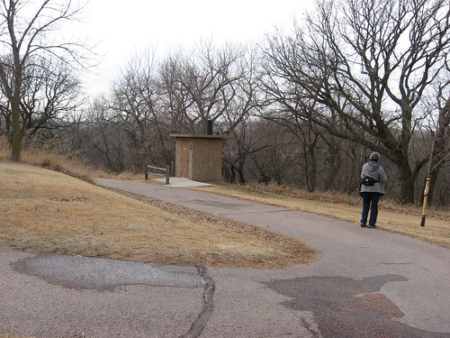
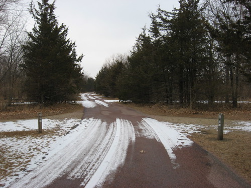
Instead, we took another of our routine hiking routes, this time beginning at the kiosk up on the rise and starting off down the bike trail. This is the trail that extends into the park from Brandon and moves around the perimeter of the park before continuing on back into Brandon from the park entrance.
We started off down the slope of the bike trail for a half-mile or so until we reached a point near the parking lot for the playground equipment alongside the park shelter.
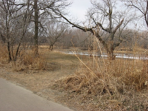
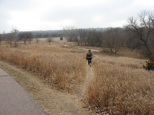
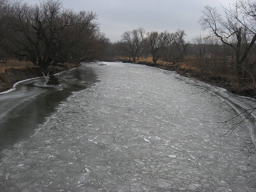
From there we entered the wooded area through the disc golf course, a pathway that moves through the woods parallel to the Big Sioux River. This is a great pathway over a flood plain of grey soil and through a wooded area between the bike trail and the river. There are many opportunities to walk up to the bank and observe the flow of the river.
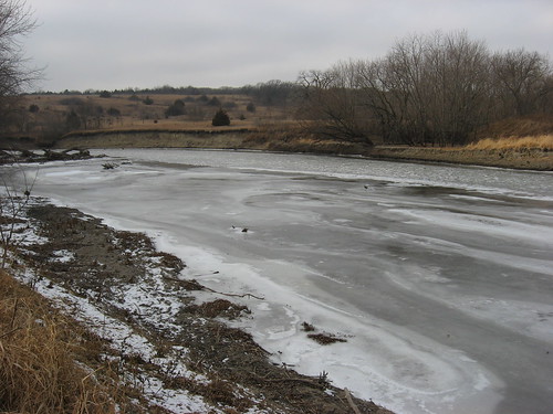
Over the years, I have made several canoe trips beginning at Lein Park in Sioux Falls and continuing the 12 miles to the BSRA. There is another 12-mile stretch along the river that begins at this launching point and continues to an access point across from the Lake Alvin Recreation Area.

The walk through the flood plain along the river intersects again with the bike trail, and we continued just a hundred yards of so until we could cross into the camping area of the park.
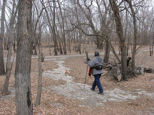
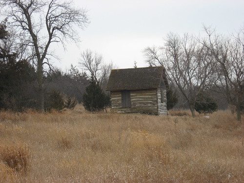
There is a pathway near one of the log cabins that leads onto the one-way road that circles through the campgrounds. We walked along the two loops of the camping area until we could exit into a meadow that leads across to the park shelter.
The campgrounds were empty, as they usually are during this time of the year. There is abundant birdlife to notice and the occasional squirrel. Mostly, this is just a great empty road that serves as a pathway through the grounds.
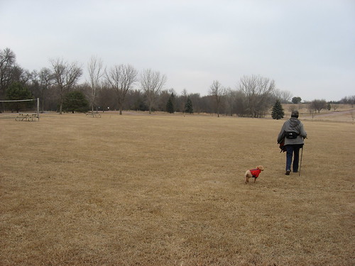
After crossing the meadow and walking through the playground and picnic area parking lot, we got back on the bike trail and made our way up the slope toward the kiosk on top of the hill.

Again, this is a walk of about an hour. It is one of my first walks during the spring. As the sun gains in strength and the days lengthen in March, the bike trail and the campground road soaks up the heat and provide the first snow-free hiking opportunity. By March, I expect to again be able to roam along this part of the BSRA while looking for any possible sign of spring.
No comments:
Post a Comment