The Big Sioux Recreation Area is located on the edge of Brandon, just off Highway 11 going north near an elementary school and a large greenhouse. This state recreation area has two major hiking trails, picnic grounds, camping facilities, an archery range, a disc golf course, and a canoe/kayak access point. The Brandon bicycle trail goes through the recreation area offering another hiking opportunity, including a variation that extends a hike into the wooded area along the banks of the Big Sioux River.
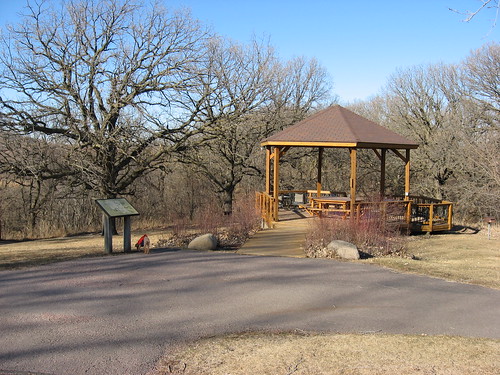
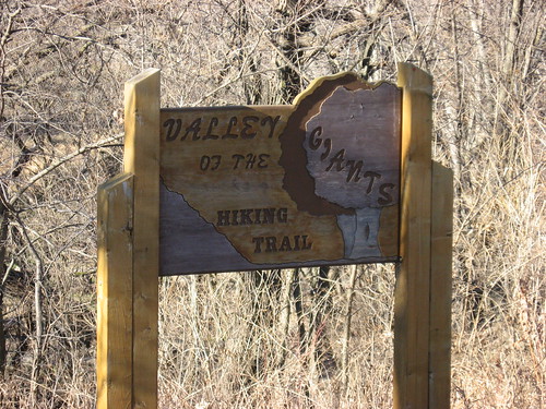
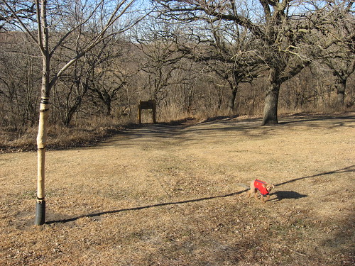
One of my favorite walks is along the Valley of the Giants trail that begins at the gazebo situated up the hill past the old settler cabin. The trail moves through the wooded area, down the slope, and along the banks of the river. Unfortunately, this is the part of the park that most frequently floods and is inaccessible for some part of the year, usually during the spring melt and time of high river water level.
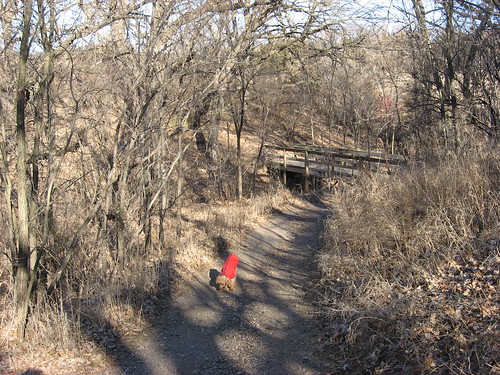
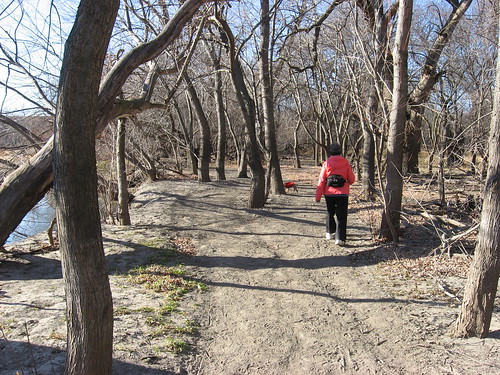
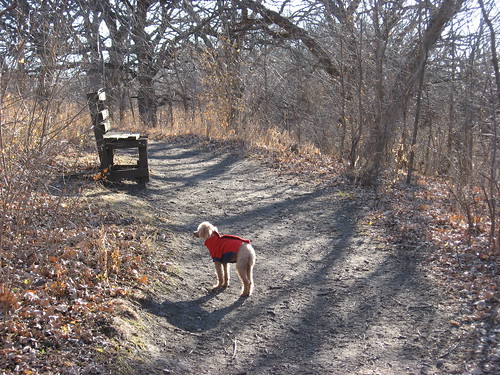
A couple of days ago, my wife, our little miniature poodle, and I took a hike on this trail. The landscape is especially interesting at this time of the year because vistas are so increased through the bare trees and bushes.
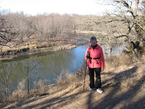
The hike begins with a trail along the hill overlooking the river below. A nice view of the river is presented early into the hike, just before descending down the slope toward the river edge.
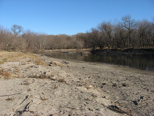
During a period of little rain over several weeks, the water level of the river drops so that a hiker can go out along a beach of sand and stunted growth and stroll along the shelving bank for a hundred yards or so. There is an abundance of birdlife along this trail, including waterfowl on the river itself.
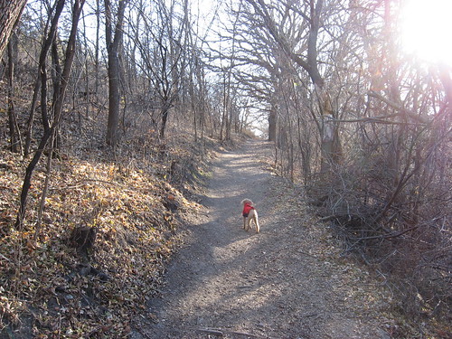
The trail then moves along a bottom area with large cottonwood trees and varieties of other trees, bushes, and grasses. The trail is well defined and quite easy to follow. A loop through the bottomland continues for half a mile or so before the trail slopes up an incline to the higher elevations overlooking the river valley.
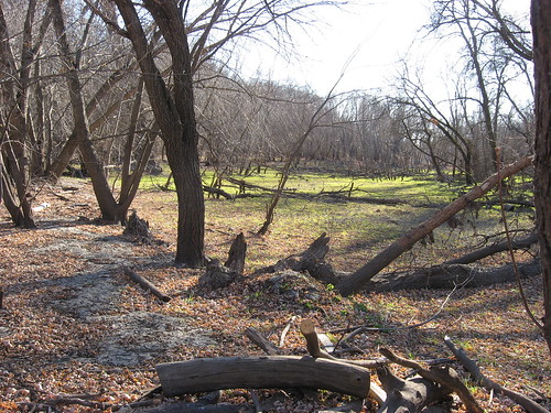
Moving through this bottomland provides a view of how a river flood affects the landscape. Brush and trees that have been caught up in the flow wind up in interesting displays within the dried out bottomland.
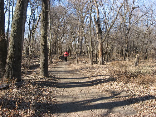
There is a bench about three quarters of the way along the trail where we tend to stop and offer our dog a drink. Soon after that point, the trail intersects with the path going down the slope and continues on back to the starting point at the gazebo.
This hiking trail intersects with the Brandon bicycle trail and people strolling from the residential areas nearby are sometimes encountered, especially on weekends and holidays. During the weekday mornings when I go hiking, I do not often meet other hikers along this trail. It is multiuse, though, and people use the Valley of the Giants trail for hiking, bird watching, dog walking, mountain bike riding, and cross country running. Still, most often I am alone on the trail and enjoy the contemplative solitude of walking through the woods and along the river.
A park sticker is required for entering the Big Sioux Recreation Area, and enforcement of this regulation is high; the ranger responsible for the park lives in a residence just off the road leading past the settler cabin and before arriving at the gazebo. Just as it is unwise to exceed the speed limit when driving through Brandon, it is also likely to be a mistake to drive into the BSRA without paying either the daily fee or having a park sticker.
A hike along the Valley of the Giants trail will generally take about 45 minutes. The trail is about 1.25 miles in length and rated as “somewhat difficult – strenuous in some areas.”
No comments:
Post a Comment