
Taking advantage of the remarkable delay in the arrival of winter here in the Sioux Falls area, we again headed out for a hike this afternoon. The temperature was about 32 degrees and there was no wind. There was also no sun, but that was almost immaterial to our decision.
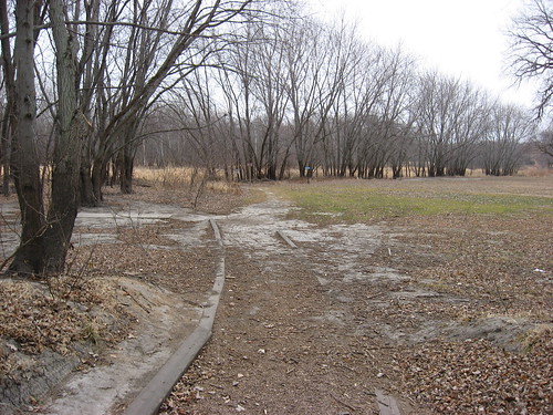
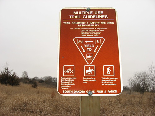
The Prairie Vista trail at the Big Sioux Recreation Area is my favorite hiking location in the area. The trail begins at the lower shelter within the BSRA and leads across the edge of the disc golf course, crosses the bike trail, and continues to the edge of the Big Sioux River. A suspension bridge crosses over the river to a multi-use trail system for hikers, bikes, and horses.

After moving along for a few hundred yards, the trail comes to an intersection with one pathway moving parallel to the BSR, one pathway leading directly up onto the ridge of a long hill that dominates the area, and one that leads around the archery range.

As long as there are no archers about, my preferred route is to move along the ravine that borders the archery range and circle around the backside of the large hill overlooking the BSR valley. This is a wonderful walk with a continuing view of the landscape while climbing the hill.
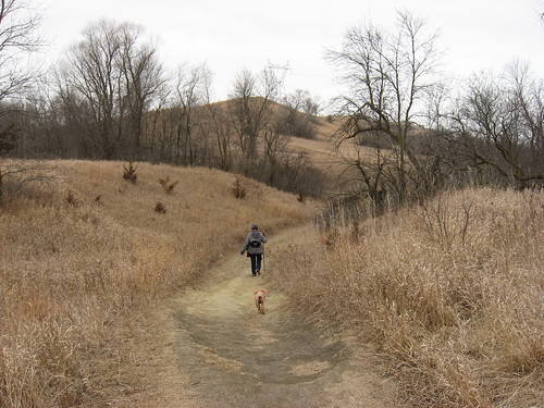
This pathway up to the ridge is a circuitous route that winds up the backside of the hill toward the ridgeline. The alternate route up to the ridge is one of those pathways that lead nearly straight up the hill. The walk around the archery range is more pleasant, assuming that people shooting arrows are not about.

The view from the ridge is spectacular. The trail continues along the ridge for half a mile or so, past a couple of large cottonwood trees, and reaches a rest bench that looks out over the valley. All of Brandon is spread out in the view from this spot. With binoculars, the wind turbines located over the border in Minnesota are visible.
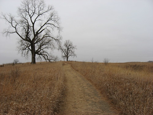
This panoramic view is well worth any effort required to climb the hill. Since we take our dog with us on this walk, it is comforting to see a long distance ahead to note the presence of any other hiker, especially one with a dog.

Just in front of the bench is a straight path that runs down to the valley floor. This a path used by very fit people who are trying to build endurance and strength – not by me!

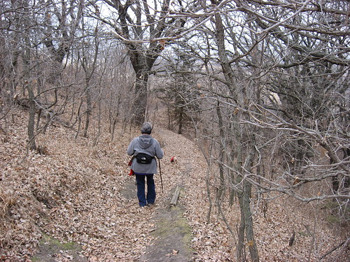
After passing this point on the trail, the pathway moves down through a thin thicket of trees as it descends to the valley floor. Plum and chokecherry trees are thick along the perimeter of the pathway on this portion of the hike.
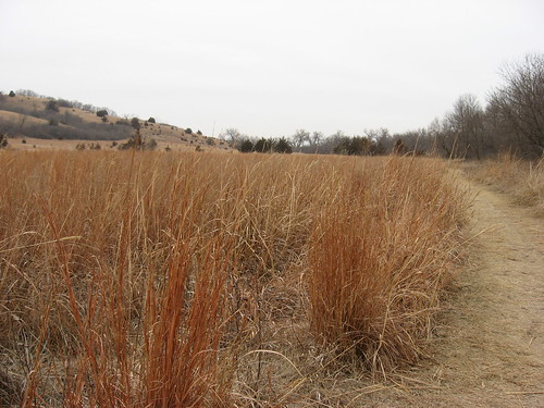
The landscape between the hill and the woods along the riverbank is largely native prairie grasses with scattered trees in a meadow-like setting.
Once down off the ridge, the trail moves along the river back toward the suspension bridge that leads back into the flood plain and crosses the Brandon bike trail. Another short pathway then leads back to the park shelter building and the parking lot.

With the walk around the archery trail, the hiking distance is about 3 miles, and it takes me something over an hour. Avoiding the archery trail would shorten the trip down to something just over 2 miles.

I encounter someone else along this trail occasionally, but usually it offers the chance for a more solitary hike. This is really a great hiking spot for people in this area from May through November. The flooding along the BSR can inhibit access to the trail, although the trail itself is high enough to be relatively free of flood waters. In the winter, this area is used by snowmobiles. We feel lucky indeed to have been able to roam about the trail this late in the year. Surely, the time is near when access will be closed for hiking because of deep snow.
No comments:
Post a Comment