The Beaver Creek Nature Area is located northeast of Sioux Falls. I generally go east on Highway 42 until past Rowena, turn north on 484th Avenue at the tall broadcast tower on the left side of the road, and then continue north about 3 miles to a sign indicating “nature area” and turn back west on a gravel road for a mile or so.
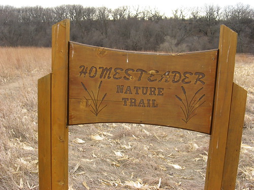
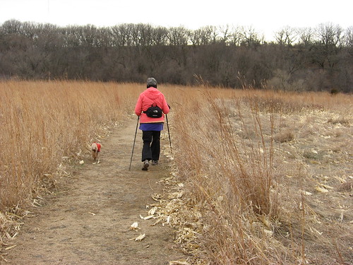
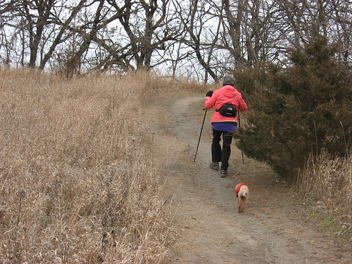
This nature area is located along Beaver Creek and provides a great two-mile hike through lowland grasses, a climb up a hill above the creek, and then a varied path that leads through upland forest, prairie grasses, over several hills. The trail continues back down a steep path to the bottomland along the creek before ending at the homesteader cabin in the picnic and activity grounds of the area. There are a couple of options that extend the hike along the way – branching trails that loop around and rejoin the regular trail.
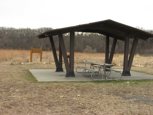
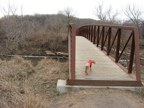
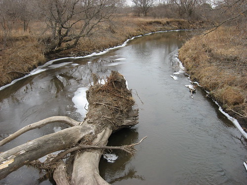
I generally begin my hike at the shelter at the eastern end of the park. The currently maintained trail leads through the grasslands to a pedestrian bridge across Beaver Creek.
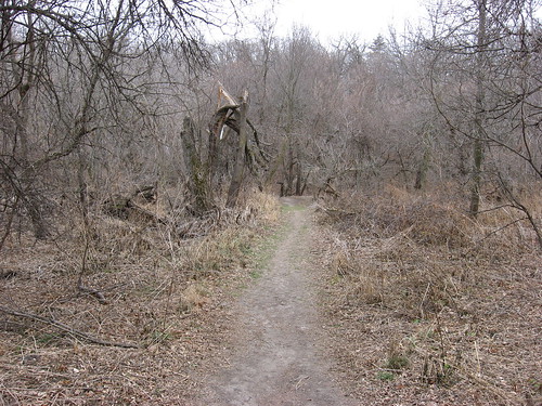
After crossing the bridge and continuing for a hundred yards or so, I take the left fork in the trail that leads up the slope and winds around a hill. There is a blocked off pathway to avoid that was in use until floods took out a portion of the trail, and an indication of that closed path is visible. At this time, a hiker just continues climbing up the trail toward the hilltop.
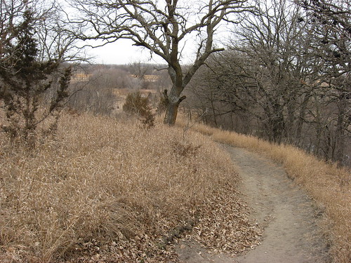
Once on the elevated trail, a hiker can turn left for a stroll along the ridgeline overlooking the creek and lower park area. I generally walk along this trail for a few minutes just for the great view before turning back and continuing along the main trail.
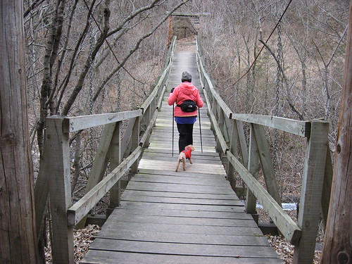
The upland trail continues around the hill and then begins a descent toward a ravine spanned by a suspension footbridge. The trail then begins another ascent to a meadow-like area lined with plum trees.
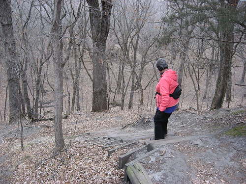
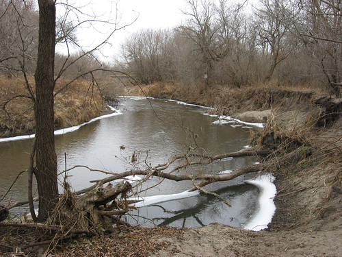
The trail soon reaches another descent toward the bottomland, a climb down on a set of inset log steps. The view from this point is one of the highlights of this park. The lowland wooded area spreads out in a landscape that reminds me of fantasy stories. This view is my wife’s favorite spot along the hike. After descending the steps, the trail continues its way down to the bottomland, where it moves through a wooded area back toward the banks of Beaver Creek.
A hiker walks along through the shoreline woods along the banks until the trail curves back into a meadow. At that point, there is a pathway that intersects with the outgoing route and takes the hiker back to the pedestrian bridge over the creek.
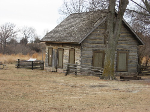
I turn to the left and continue along the trail as it leads past a cultivated field into the picnic/activity area around the Samuelson cabin (1872). The cabin area has been used by the Siouxland Museum for youth summer activities and is also where the annual fall homesteader day activities are held.
While Beaver Creek is a state nature area, no park sticker is required to enter. This is one of the premier hiking areas in the area and is quite popular with bird watchers. My hikes along this trail generally take about an hour.
The trail is rated by the state as “very difficult, extremely hilly, with very uneven surfaces.” The YMCA uses this setting for part of their summer youth programming. For me, a hike at Beaver Creek is in my regular rotation, and I do it two or three times a month from April through November. I took the hike yesterday and thought about how the trail and park will soon be nearly impassible with snow.
The large wooden bridge on the east side of the trail was washed out in last week's flood
ReplyDelete